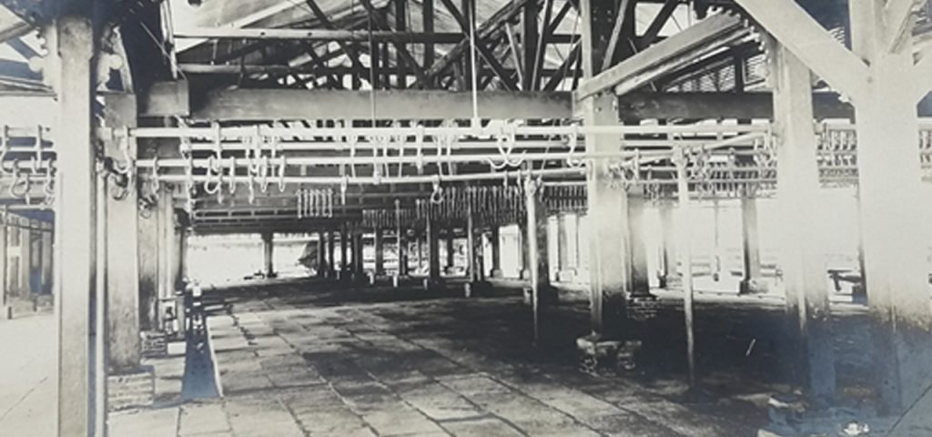
I attended a talk on the history of the Amoy marine biological laboratory yesterday. The discussion, which was part of a bigger book project, was about the choice of the University of Amoy as the location of the first marine biological laboratory in the 1920s. The speaker hypothesized that the abundance of amphioxus (Cephalochordata) in the area was one of the bigger reasons why the site was chosen. In the end, the marine biological laboratory became the pioneer in marine biological studies in China and contributed to the whole discourse on nation-building.
What piqued my interest in this presentation was not the scientific endeavor per se. While the types of amphioxi were described in greater detail and its potential commercial use, the claim on what marine biologists have done was, in passing, a form of contributing to the construction of the Chinese nation.
During the open forum, after questions about scientific details and taxonomy problems, I raised the concern of repositioning the marine biological laboratory as an institution that does nation-building. The institution was the first the map out, in a very systematic and organized way, the coast and its resources. Similar to the formation of a nation, it begins with the process of identifying the territory, its resources, and inhabitants. Ben Anderson in his magnum opus, Imagined Communities, discussed the critical position mapping is in the process of nation-building:
“The appearance of ‘historical maps,’ designed to demonstrate, in the new cartographic discourse, the antiquity of specific, tightly bounded territorial units. Through chronoloically arranged sequences of such maps, a sort of political-biographical narrative of the realm came into being, sometimes with vast historical depth. In turn this narrative was adopted, if often adapted, by the nation-states which, in the twentieth century, became the colonial states’ legatees.”
Benedict Anderson, Imagined Communities, (London: Verso Books, 1983), 175.
I am not an expert in Chinese history. However, if China were to be in the process of organizing and building itself as a nation by the 1930s, then mapping not only its terrestrial domain but also its marine territory would definitely contribute to that discourse.
Mapping out the territory is not only a cartographic activity conducted by geographers and scientists. It is in a way going into a relationship with the land or seascape. One becomes attuned with its inhabitants and resources, and get to be in constant connection with the place as if it were yours. The marine biological laboratory does exactly just that: it visualizes for its inhabitants the nature of the nation, thereby creating that “imagination” for easier grasp by the populace.
Sometimes, when we are so engrossed in details, we forget to see the bigger picture. How does the marine biological laboratory conform to emerging international laboratories at the turn of the 20th century? What contributed or hampered the development of such a laboratory post-World War II? What are some implications of this mapping out by the Chinese on contemporary issues such as border conflicts and territorial encroachment along its boundaries? We could not imagine the greater relevance of this project if the questions were not to be extended and in a lot of ways, challenged.

